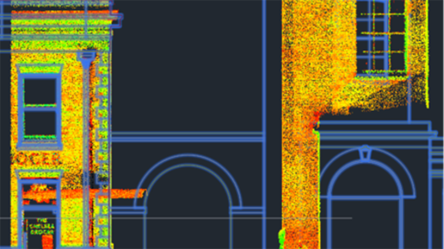
Captured data was processed in Leica Cyclone Register 360 Plus to generate a unified point cloud. The survey’s accuracy included results of bundle error, overlap, strength and cloud-to-cloud error.
The registered point cloud was then compared against the architectural drawings using Autodesk AutoCAD, ensuring every measurement was validated against the design. As the architectural drawings did not include an Above Ordnance Datum (AOD), Misura Geospatial established a Local Arbitrary Datum (LAD) at pavement level in the south-eastern corner of the building.
Our survey provided precise insights into the building’s dimensions and spatial relationships. These findings provided the client with clear, actionable data to guide the planned improvements while ensuring compliance with design specifications.
Misura Geospatial delivered a comprehensive, highly accurate verification survey that enabled Cadogan Estates Limited to confidently proceed with building modifications. By leveraging cutting-edge 3D scanning and drone technology, we provided a clear, data-driven understanding of the existing structure, helping to minimise risk, avoid costly errors, and support precise planning for future development.